
I had one section left to complete the Spruston Road to Christie Falls portion of the Trans Canada Trail near Nanaimo. Naturally I’m a list checker offer and hiking all the portions of a large trail is just a big checklist so I had to do it.
I’ve been north from Haslam Creek before, along the suspension bridge then on to Timberland Lake but I had never made the hike south to connect to Christie Falls near Ladysmith. If you haven’t, you’re not missing much. The hike is all logging road but if you end at Christie Falls then it’s a worthwhile adventure. I got a few photos out of it anyways.
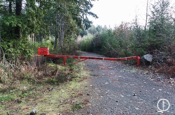
I had to start walking at an orange gate. I drove the truck to this point along the potholed logging road. The dirt road had some deep holes up to this point but it didn’t require a 4×4.
It looks like the road is deactivated and not used much. It’s still a logging road though.
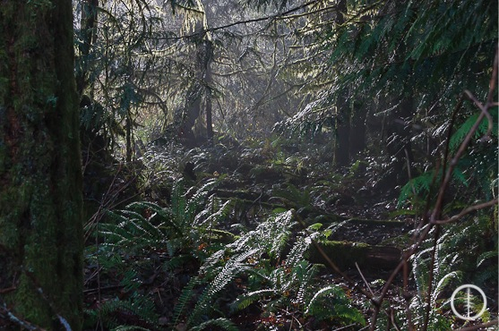
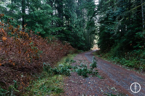
The brush on either side is quite thick and pretty. The sun was trying to shine through when I was out.
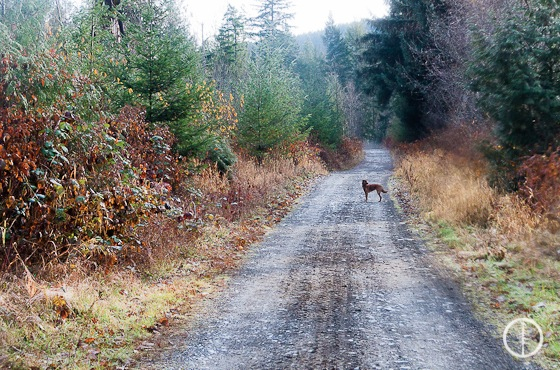
Logging road walking.
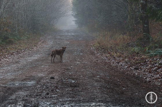
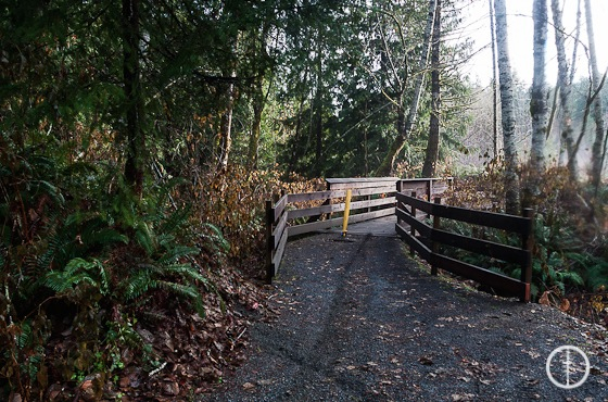
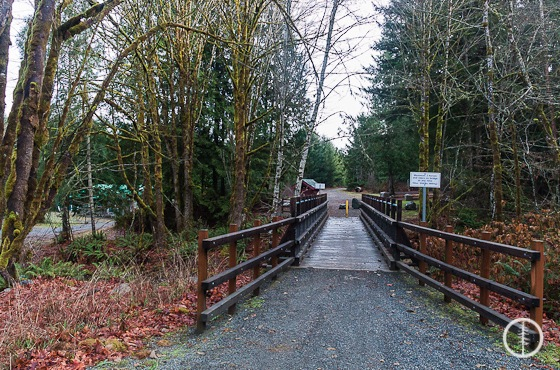
The sun cut out and left us in the fog.The first bridge you cross heading south. After the bridge head left to Christie Falls and the final bridge. If you turn right, it heads up to an abandoned mine. I’ll try and post some directions to that one soon.The final bridge (or first if you are heading north from Christie Falls) has a Trans Canada Trail sign near it. You can see where to go and what else is in the area.
** One note on signage, I didn’t see any. The best I could see was at Haslam Creek and then one random trail marker on a fence post heading south from there. That was it until the sign near Christie Falls said that was the Trans Canada Trail. Not sure why the other sections are so well marked and this one isn’t. It makes it a bit confusing. I had to drive in a few circles near the Haslam Creek entrance just to make sure there were no other roads for options to take. I recommend grabbing the GPS track to follow so you don’t get turned around.
If you don’t mind some dirty puddles you can from Haslam Creek and the powerlines south along the dirt road until you hit the orange gate. The woods are pretty around the road south of the powerlines so you could walk these. I just drove as far as I could and then started the hike.
Have you been along this stretch of the Trans Canada Trail? What did you think?
Let me know down in the comments below!