
Day 3 of my trip to Cape Scott in 2015.***
It’s decision day. My quads and calfs are tired and feet are blistered. My hiking speed is… slow.
The plan is to hike to Nissan Bight and then down to San Josef the next day. Do I hike with the rest of the group and then 22 km down to San Josef Bay? Or do I break it up and hike to Eric Lake, a 15km hike, leaving the last 7 for the day after? That would leave an easy 3km hike out to the parking lot the last day.
I wanted to stay with the group but my feet were saying hike to Eric Lake and get a head start. I didn’t want to do any solo hiking but there were many people on the trail. My feet would be much happier splitting the distance up. The group wouldn’t have to wait for my slow pace all day. But splitting the group up, what if something happened?
What to do?
I decided to do the solo hike to Eric Lake. A solo mission with lots of people on the trail and the rest of the group coming through the day after if anything went wrong. Done. Let’s do it.
One thing with some of the photos below is they point north along the trail instead of south, the direction I was travelling. Some of photos were for a slideshow of photos showing the route from the parking lot to Nels and then the lighthouse. I turned around to take them facing north. Yup, wierd, I know. They still show what the trail is like at that point.
Get comfortable. Here’s the rest of the story from Day 3 of the Cape Scott Trail.
We should have waited to go up to the lighthouse. Today would have been beautiful for it. I’ve got a long hike ahead of me. Better get moving. Tough choice to leave the group and head for San Josef instead of seeing Nissan Bight.
One part of me, the explorer, my logical mind, wanted to see Nissan. To leave a place with a beautiful beach unseen, tore at that part of me.
The other half, my legs and my feet, were telling me the smart decision would be to break up the hike, give those legs a break. I would be staying at a different campsite we hadn’t stayed at yet. Get some solo time in.
Ok, feet. You win.
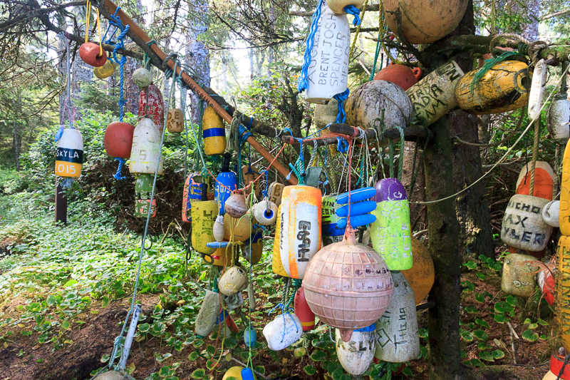
A few floats at the entrance to Nels Bight.
All sorts of things coming washing up on the beaches this far north. There’s not much to stop the bits and pieces coming from Japan to the island. Only the lucky folks find anything good and I’m sure it’s whisked away to someones treasure chest. The boring leftovers are hung up on trees.
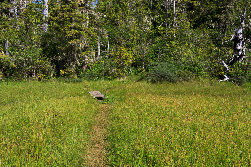
Out onto the plains of Hansen Lagoon.
The trail to the first dyke. Still one of the most unique places I’ve seen hiking. It was a confusing place to be. Popping out of thick forest onto grassy meadow a kilometre wide was not in my hiking plan but there it was and it was beautiful.
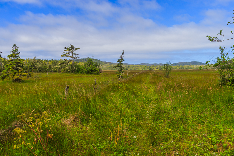
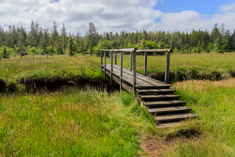
You can still see the old fence posts heading out to the dyke in the photo below. The posts lead out to Hansen Lagoon and the first dyke. The settlers added dykes to Hansen Lagoon, the first completed in 1899 and the second in 1905. On our way in, we were eager to the beach and didn’t venture out to see the lagoon. Here, on my way out, I wanted to keep moving. Long day ahead.
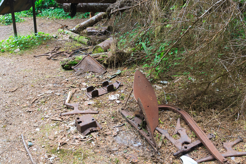
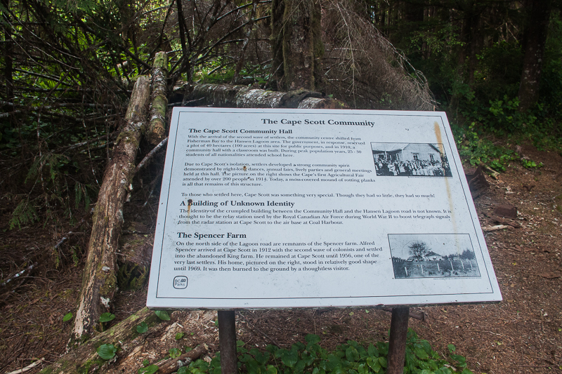
Remnants of one of the settlements. A sign in the top left corner talks about the Cape Scott Community Hall.
The sign says:
The Cape Scott Community Hall With the arrival of the second wave of settlers, the community centre shifted from Fishermen Bay to the Hansen Lagoon area. The government, in response, reserved a plot of 40 hectares (100 acres) at this site for public purposes, and in 1910, a community hall with a classroom was built. During peak peak population years, 25-30 students of all nationalities attended school here.Due to Cape Scott’s isolation, settlers developed a strong community spirit demonstrated by night-long dances, annual fairs, lively parties and general meetings held at this hall. The picture on the right shows the Cape’s first Agricultural Fair attended by over 200 people in 1914. Today, a moss-covered mound of rotting planks is all that remains of this structure.To those who settled here, Cape Scott was something special. Though they had so little, they had so much!
A Building of Unknown IdentityThe identity of the crumpled building between the Community Hall and the Hansen Lagoon road is not known. It is thought to be the relay station used by the Royal Canadian Air Force during World War II to boost telegraph signals from the radar station at Cape Scott to the air base at Coal Harbour.
The Spencer FarmOne the north side of the Lagoon road are remnants of the Spencer farm. Alfred Spencer arrived at Cape Scott in 1912 with the second wave of colonists and settled into the abandoned King farm. He remained at Cape Scott until 1956, one of the very last settlers. His home, pictured on the right, stood in relatively good shape until 1969. It was then burned to the ground by a thoughtless visitor.
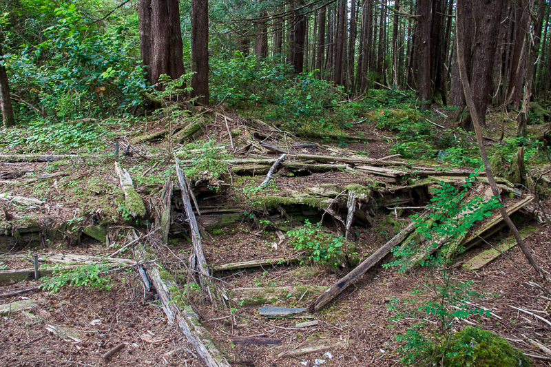
All that’s left of the old Cape Scott Community Hall.
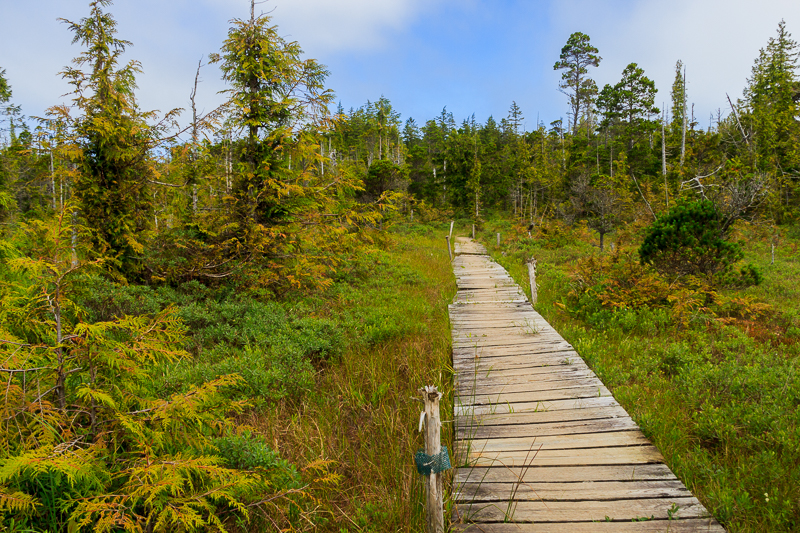
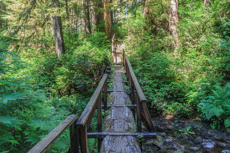
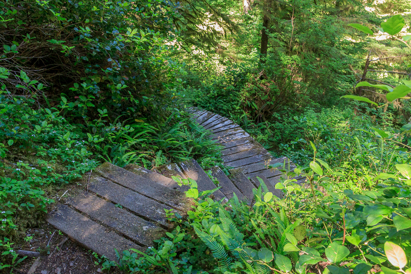
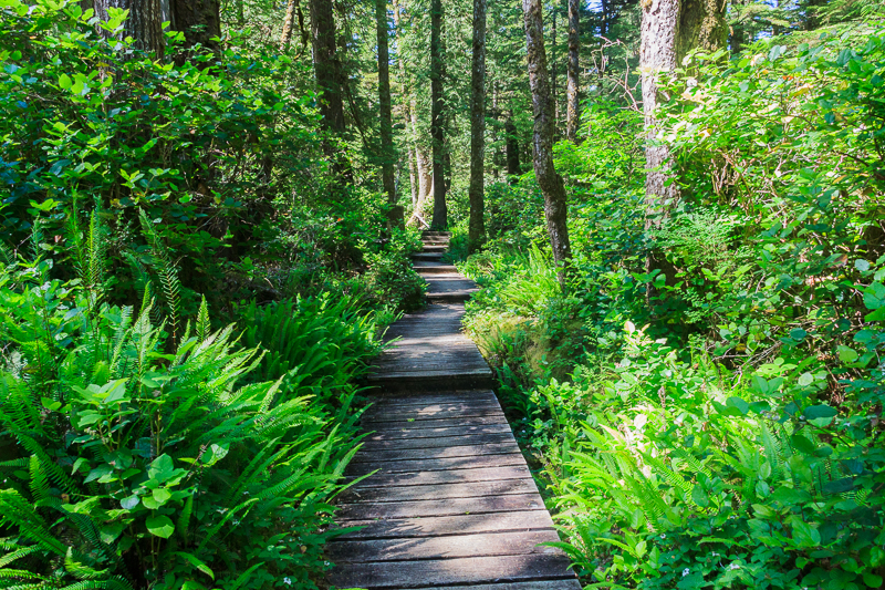
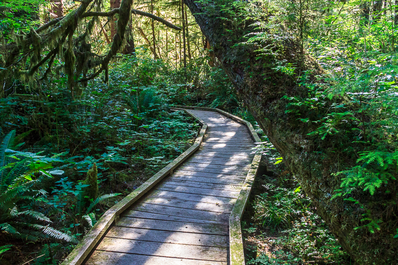
Boardwalks through the bog.
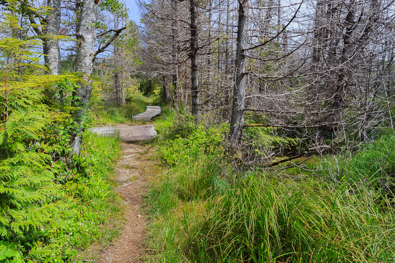
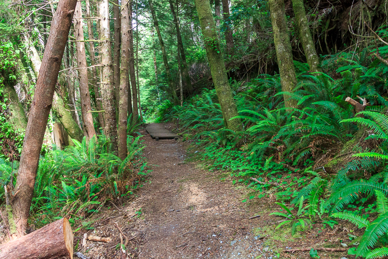
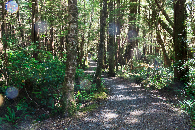
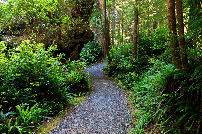
Back into the forest.
Parts of the old telegraph line ran into the area in 1913.
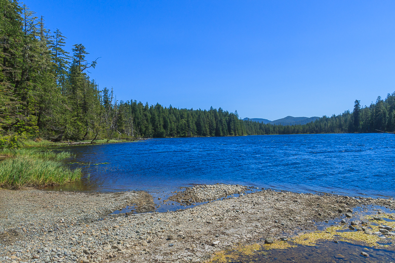
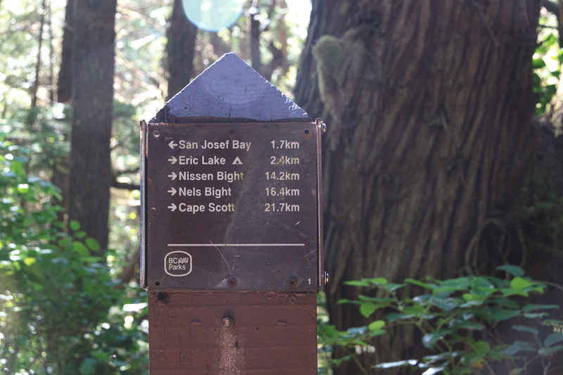
Eric Lake. 15km done. Done for the day right? Well…I had planned to stop and pick up some water at Eric Lake. Just out of the photo below to the right a couple were having their quiet romantic swim so I didn’t want to stay long. There was another entrance to the lake at the south end. I’ll head to the south end grab some water there, see what the dock looks like. We hadn’t checked it out on the way in.
The southern entrance to Eric Lake. Looks great from up the trail. When you get down to the water it’s a mud pit. All the goo that gets blown down Eric Lake by the wind ends up here. You’d have to wade out 10 metres to get fresh, clear water. And that dock I had read about? It’s the rotted remnants of a shipping dock they would float supplies up the lake from. All that was left was a couple of pilings and some rotted wood half under water. Not a real dock.
I had a break but didn’t get any water. I was almost out of water at this point. Decision time.
I could head 1.5km back up to the north entrance to Eric and get some water and probably spend the night there in a buggy forest campsite. Or I could continue down to San Josef Bay from here, another 5km. Only 5km. That wasn’t the plan but it was so close. A few more hours trudging along and I’d be at the white sands of San Josef Bay with rivers of fresh water coming down onto the beach.
That sounds great. Let’s do it.
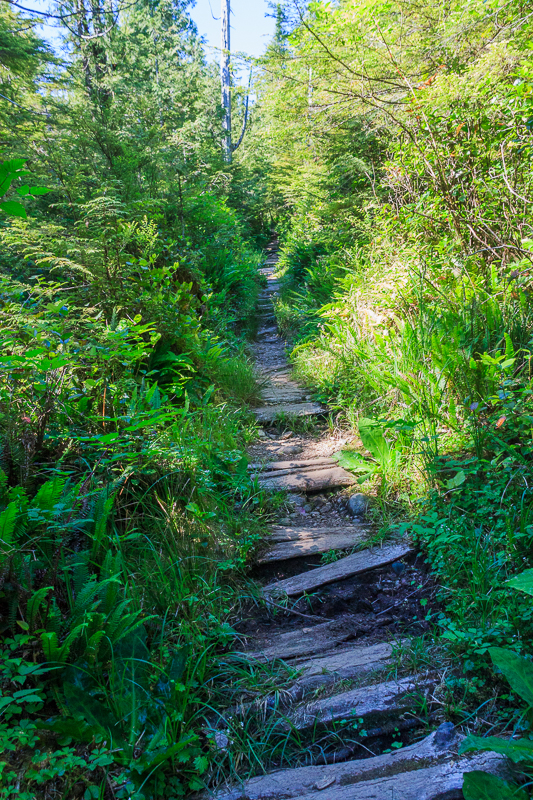
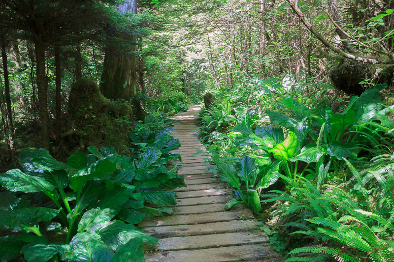
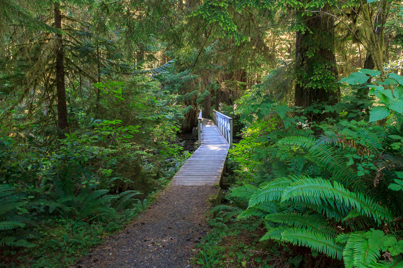
The trail to Cape Scott isn’t especially technical but it’s not easy. There are so many little rocks and logs and things to trip over. It makes for a tiring hike.
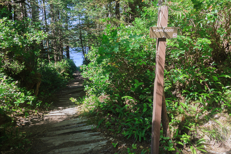
The marker!
This is the fork to turn off to the parking lot or turn south to San Josef Bay. Less than 2k from here to San Josef Bay (I had to hike farther to get water which made it about 3k). Easy hiking now. My goal at last.
My feet were screaming at me but just a little further I’d be able to get some water and lay this pack down for an entire day. I was already looking forward to the next day of relaxing on the beach, pina coladas and working on my sun tan.